
Book I · 3D globes, maps and satellite orbits
Orbit Chronicles
Planet Rendering from a Single Tile: I Zoomed Out One Level Too Far, and Now Satellites Ask Me for Directions
Chapter 1
The Planet in a Single Tile
It began with one square picture of the world. Zoom in once and it became four. Zoom in again and I had a whole map of tiles, and a quiet promise to know every zoom level by name.
Chapter 2
A Globe That Turns on Command
Flat maps are polite, but a globe is honest. I wrapped the tiles around a sphere, taught it to spin, and watched the continents roll past like a very slow, very patient audience. This page has an interlude that shows how a flat tile becomes a globe.
Interlude
Zoom Level Zero
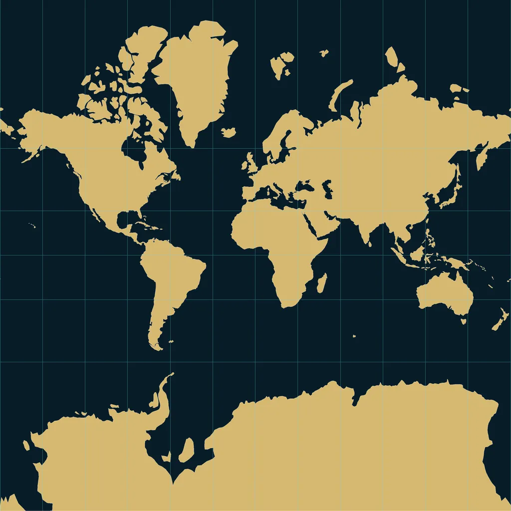
Every web map starts as one square picture: the whole world at zoom level zero. Wrapped round a sphere, that single tile becomes a globe.
Illustrative orbits, not to scale
Zoom level zero: the whole world on one square tile. The tile stops at about 85 degrees of latitude, so the poles are cut off.
Map data: Natural Earth (public domain)
Chapter 3
Satellites Ask for Directions
Then the satellites arrived, tracing their orbits above the globe. Each one drew a thin bright line across the dark. Somehow I was now the one they asked for directions.